General information

IMO:
MMSI:
367155310
Callsign:
WDD5224
Width:
34.0 m
Length:
114.0 m
Deadweight:
Gross tonnage:
TEU:
Liquid Capacity:
Year of build:
Class:
AIS type:
Other Ship
Ship type:
Flag:
United States of America
Builder:
Owner:
Operator:
Insurer:

Course/Position

Position:
Navigational status:
Moored
Course:
300.6° / 0.0
Heading:
220.0° / 0.0
Speed:
Max speed:
Status:
moored
Area:
United States
Last seen:
2024-04-24
3 min ago
Source:
T-AIS
Destination:
ETA:
Summer draft:
Current draft:
Last update:
6 min ago
Source:
T-AIS
Calculated ETA:

Not visible with your account? Upgrade here...

Upgrade

Latest ports

Port
Arrival
Departure
Duration
2024-04-23
1d 19h 21m
2024-04-20
2024-04-22
1d 11h 50m
2024-04-19
2024-04-19
10h 10m
2024-04-18
2024-04-18
8h 43m
2024-04-17
2024-04-18
2h 32m
2024-04-12
2024-04-17
5d 9h 14m
2024-04-11
2024-04-11
17h 11m
2024-03-20
2024-04-09
20d 5h 40m
2024-03-16
2024-03-17
22h 12m
2024-03-15
2024-03-15
1h 11m
Note: All times are in UTC

Latest Waypoints

Waypoints
Time
Direction
Morgans Point
2024-04-17
Enter
Morgans Point
2024-04-12
Leave
Morgans Point
2024-03-05
Enter
Morgans Point
2024-01-21
Leave
Morgans Point
2023-11-25
Enter
Morgans Point
2023-11-23
Leave
Morgans Point
2023-11-11
Enter
Note: All times are in UTC

Latest news

Tug hit boat house

Fri Feb 17 12:36:45 CET 2012 Timsen

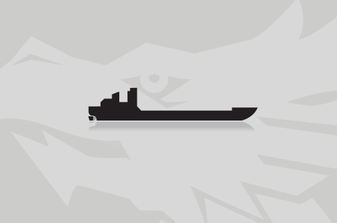
The "Boliver Point" struck a boathouse early on Feb 16, 2012in Port O'Connor. The Port O'Connor Coast Guard received a radio report about 6:15 a.m. saying the vessel had run aground, striking a boathouse on the northern shore of the Intracoastal Waterway at mile marker 474. The tugboat was pulling two barges with about 50,000 barrels of alkylate, a substance used by refineries to enhance the octane levels in gasoline. The pilot reported that currents in the Intracoastal Waterway were strong, driving the tugboat into the boathouse near Fishermen's Cut. Low visibility from lingering fog was also a factor. The Port O'Connor Coast Guard sent a response boat. The Corpus Christi Coast Guard sent a cutter to assist in the investigation. A safety zone two miles wide was set up, and that section of the Intracoastal Waterway was closed. The safety zone was canceled, and the channel was re-opened Thursday afternoon after the majority of the debris from the crash had been removed from the water. The Coast Guard has issued a safety advisory about any remaining debris in the channel. Report with photos: http://www.victoriaadvocate.com/news/2012/feb/16/dw_barge_accident_poc_167644/?business&local-business

Upload News

Daily average speed

Not visible with your account? Upgrade here...

Upgrade

Distance travelled

Not visible with your account? Upgrade here...

Upgrade

Ship master data