
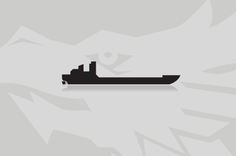
MARGE MCFARLIN
Course/Position
29 days ago

Latest ports
Latest Waypoints
Latest news
Monongahela and Ohio rivers reopened after salvage of lost barges
The Coast Guard reopened the Monongahela and Ohio rivers on Jan 21 following the completion of salvage operations for two breakaway barges of the "Marge McFarlin". The Captain of the Port Pittsburgh cancelled the safety zone for the Monongahela River, from mile marker 0.0 to 1.2, and a portion of the Ohio River, from mile marker 0.0 to 0.2. Both rivers have been reopened to all vessel traffic. A total of 10 vessels requested transit through the safety zone. All transit requests were accommodated, resulting in minimal impact to maritime commerce. At approximately 2:30 a.m., Jan 19, watchstanders at Coast Guard Sector Ohio Valley received a report that the "Marge Mcfarlin", owned and operated by Ingram Barge Company, allided with the Liberty Highway Bridge at mile marker 1.1 on the Monongahela River, while pushing 12 loaded coal barges. The allision resulted in two barges breaking away. The remaining barges were safely contained.
Barges broke away from tow and sank
The Coast Guard on Jan 19, 2012, was responding to the report of an allision from two barges breaking away from a towing vessel at the Liberty Highway Bridge on the Monongahela River. At approximately 2:30 a.m., watchstanders at Coast Guard Sector Ohio Valley received a report that the "Marge Mcfarlin" had allided with the Liberty Highway Bridge at mile marker 1.1 on the Monongahela River, while pushing 12 loaded coal barges. The allision resulted in two barges breaking away. The remaining barges were safely contained. One barge sank in the vicinity of the Fort Pitt Bridge, and the second barge drifted downriver where it struck a barge fleeting area, causing a moored barge to break loose. Both barges were resting at mile marker 0.8, at the foot of Smithfield Street Bridge. A Coast Guard investigation team was on scene conducting a marine casualty investigation. The barge owner’s representative is on site evaluating the situation and developing a salvage plan to remove the sunken barge from the river where it poses a hazard to navigation. The Coast Guard has implemented a safety zone on the Monongahela River from mile marker 0.0 to mile marker 1.2, closing the river to all traffic. The salvage crews coordinating the recovery of the submerged barge remained on scene overnight, and recovery efforts resumed early next morning. The sunken barge remained a hazard to navigation, and the tug "James Garrett", which was responsible for coordinating salvage operations, illuminated the location throughout the night. Requests for transit through the safety zone are being evaluated by the Captain of the Port on a case-by-case basis.
Upload News