
AMY FRANCES
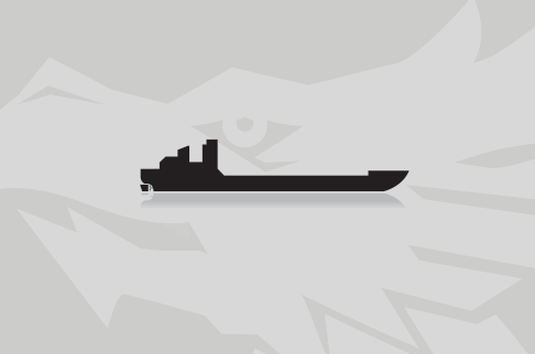
Kurs/Position
vor < 1 Min

Die letzten Häfen
Die letzten Wegpunkte
Die neuesten Nachrichten
Barge MM 46 being lightered
The tugs "Kathy Azlin" and "Amy Frances" were staged next to the damaged barge "MM-46" for lightering operations on the Mississippi River near Natchez on Jan. 22, 2015. Response crews were continually conducting soundings of the damaged tanks on the barge to determine the amount of clarified oil spill. Coast Guard, Mississippi Department of Environmental Quality, Louisiana Department of Environmental Quality and Magnolia Marine established a unified command in response to the allision on Jan 22. Response crews began lightering operations at 8:35 a.m on Jan 23 in order to remove the remaining clarified oil mixture from "MM-46" to two Magnolia Marine barges on scene. Crews estimated that approximately 76,000 gallons of clarified oil mixture were still unaccounted for, but crews continually take soundings of the damaged barge tank to determine the amount spilled. Capt. Timothy Wendt, commander, Coast Guard Sector Lower Mississippi and Captain of the Port, re-opened the river near the Natchez-Vidalia Bridge to northbound vessels, while all southbound vessels were still restricted from transiting the river. Report with photos: http://www.uscgnews.com/go/doc/4007/2779046/
Two voids of barge breached in allision
The Coast Guard continued to work with the National Oceanic and Atmospheric Agency, and Magnolia Marine involved in the allision of the barge the "Amy Frances" was transporting that took place at the Natchez-Vidalia U.S. 84 Bridge, near Natchez on Jan 21. Initial assessments of the damaged barge have indicated that two voids were breached in the incident, downgrading the maximum potential clarified oil discharged to approximately 200,000 gallons. Response crews from E3 Environmental took preliminary soundings of the two damaged voids. Crews estimate that approximately 76,000 gallons of clarified oil mixture was unaccounted for after the incident. The Coast Guard has completed an overflight for assessment from mile markers 290 to 364 and no pollution was observed. NOAA is assisting with assessments to locate potentially impacted areas. The Caption of the Port has issued a waterway restriction from mile marker 363 near Natchez to mile marker 438 near Vicksburg. The restriction is for towboats pushing barges to not transit under the bridges.
Barges sank after allision on Mississippi
The US Coast Guard responded to the allision of the "Amy Frances" with the Natchez-Vidalia Bridge on the Mississippi River resulting in a barge sinking with slurry oil on board, near Natchez, Mississippi, on Jan 21, 2016. Coast Guard Sector Lower Mississippi River watchstanders received a call at 1:02 p.m., reporting an allision of the "Amy Frances" with the Natchez-Vidalia Bridge at mile marker 363. The tug was transporting six barges, four being loaded with slurry oil and two being empty at the time of the incident. The allision caused damage to at least one barge containing slurry oil, and discharging an unknown amount into the Mississippi. An oily sheen was observed in the vicinity of the accident site. The Coast Guard was working with State and Local agencies, the barge owner to determine the amount of slurry oil that has been discharged. The barge had a maximum potential of more than 1,000,000 gallons of slurry oil on board. The Captain of the Port has issued a waterway restriction from mile marker 363 near Natchez north to mile marker 438 near Vicksburg. The restriction was for tugs pushing barges to not transit under the bridges. Report with photos: http://www.uscgnews.com/go/doc/4007/2778526/
News schreiben